

January 31, 2021 by Meteorologist, Michael Page
A powerful Nor’Easter will bring a mixture of rain and snow, as well as gusty winds, to New England this week.
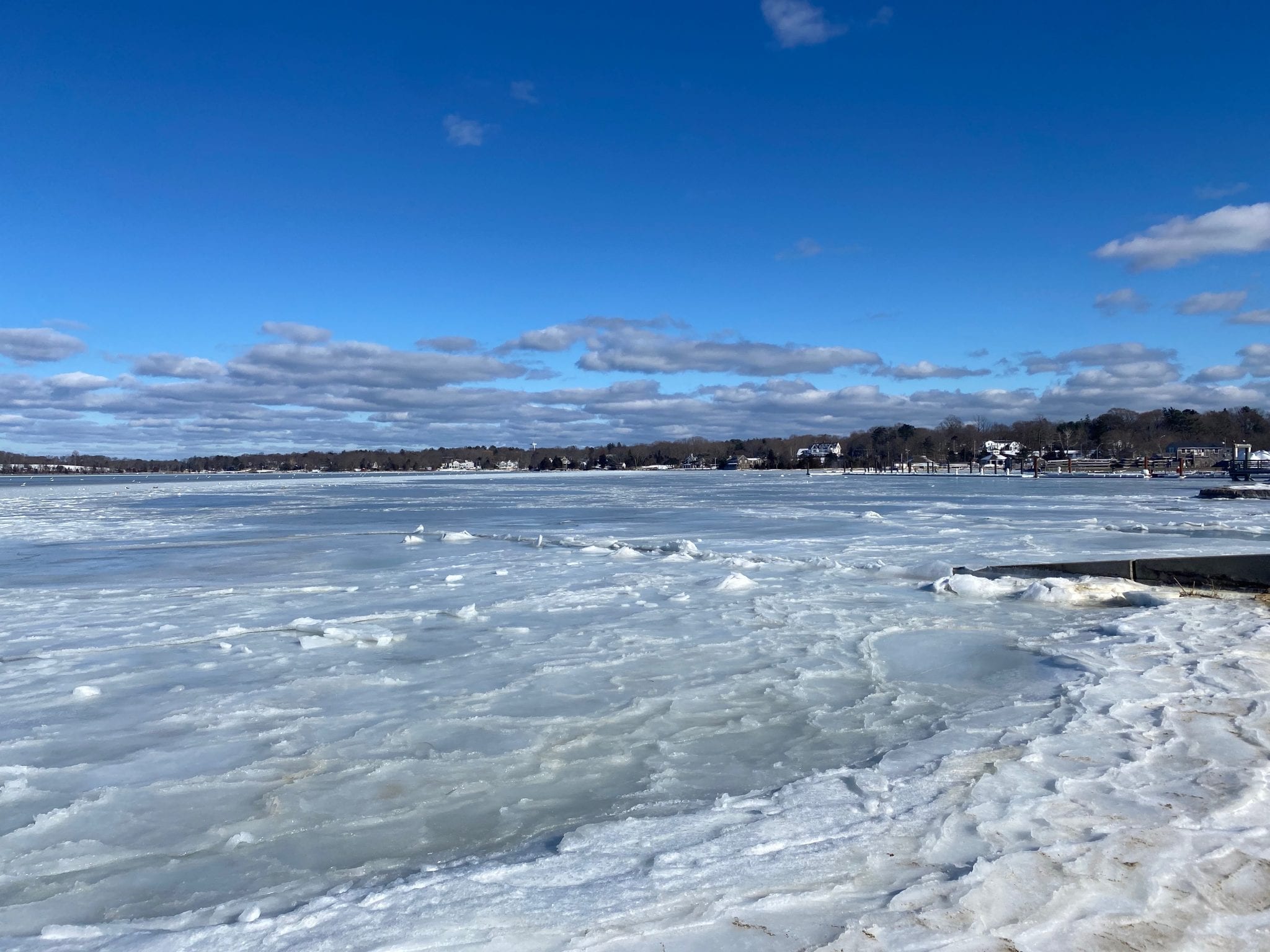
Here’s what to expect in Hingham during, and after, the storm.

Messy Mix of Snow and Rain
Monday’s storm will bring snow, followed by a change to rain, for Hingham.
The morning hours of Monday will be dry, as the storm will approaches, so take care of your errands before lunchtime if possible.
During the middle of the afternoon the storm will arrive, starting as snow even here on the South Shore.
That snow will come down heavily for a time during the late afternoon and evening hours.
Expect 3-6” of heavy, wet snow in Hingham during this time.
After dinner warmer air will be drawn into the area, flipping the snow over to rain as temperatures climb into the middle and upper 30s.
That rain will then continue into early Tuesday morning, washing away some of the snow that falls early in the storm.
As the storm pulls away on Tuesday itself, we’ll start to dry out, but there still may be a few light snow showers as chilly air begins to flow back in behind the storm.
In addition to the rain and snow, expect wind gusts between 40-50 MPH in town, along with some minor coastal flooding at the time of high tide. That means there may be some splash-over in parts of Crow Point, and around low lying streets like the intersection of Kilby and Rockland Streets.

Quieter & Brighter Mid-Week
Wednesday will bring high temperatures during the day in the 30s, but we’ll still have lots of clouds around. There still may be a spit of rain or snow from time to time, too.
Thursday finally brings a return to sunshine, with seasonable temperatures in the 30s to near 40.
That return to sunshine also means we’ll be able to enjoy our lengthening daylight. This week sunrises are once again before 7 AM, and sunsets will again be after 5 PM!

Warmer Finish to the Week
After such a stormy start to the week, temperatures Friday into next weekend may briefly pop into the 40s, or even near 50 for a time, as another system approaches with the risk of some rain showers.
Excellent reporting!
Thanks, Michael. I always look forward to your forecasts. And the photography is superb too!