


April 17, 2021 by Meteorologist, Michael Page
Unlike some parts of New England, Hingham only saw a few snowflakes mix in with the much needed rain that fell last week, but it was still an unwelcome sight for many.
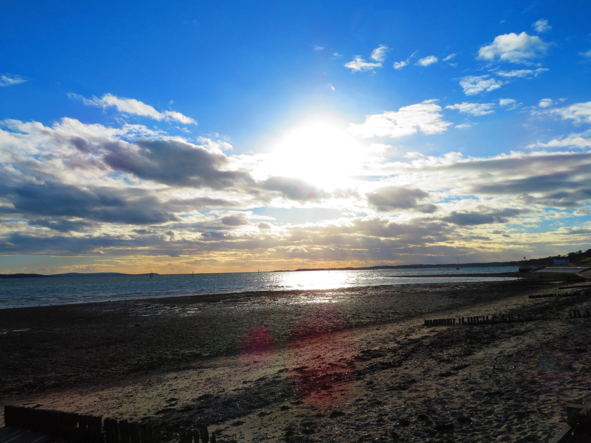
This week offers some much nicer days ahead, just in time for school vacation week.
Mild Start to the Week
This week will start mild, with daytime temperatures on Monday reaching the low 60s under a mixture of sun and clouds.
It's possible there's a quick passing sprinkle, because of some instability in the atmosphere, but overall it looks like a nice spring day.
Tuesday will be even warmer, with temperatures in the 60s to near 70 during the day. We'll enjoy plenty of sun, as well. Evening temperatures will stay in the 50s, before dropping into the 40s overnight, which means it will also be the best night of the week to have dinner outside.

Best Rain Chance Mid-Week
This week's best rain chance comes late Wednesday into Thursday as a front comes through.
Ahead of the front, on Wednesday, temperatures will still likely reach the low 60s, but it will turn cloudy.
Then the rain likely arrives late in the day or at night.
The rain will clear out on Thursday, but as it does so a gusty wind will develop. That wind will usher in much cooler air. Expect temperatures during the day in the upper 40s to near 50 on Thursday.
Friday brings a bit more sun, but still breezy conditions with daytime temperatures in the 50s.
Another spoke of energy will pivot through New England, so that may trigger a spot shower on Friday as well.