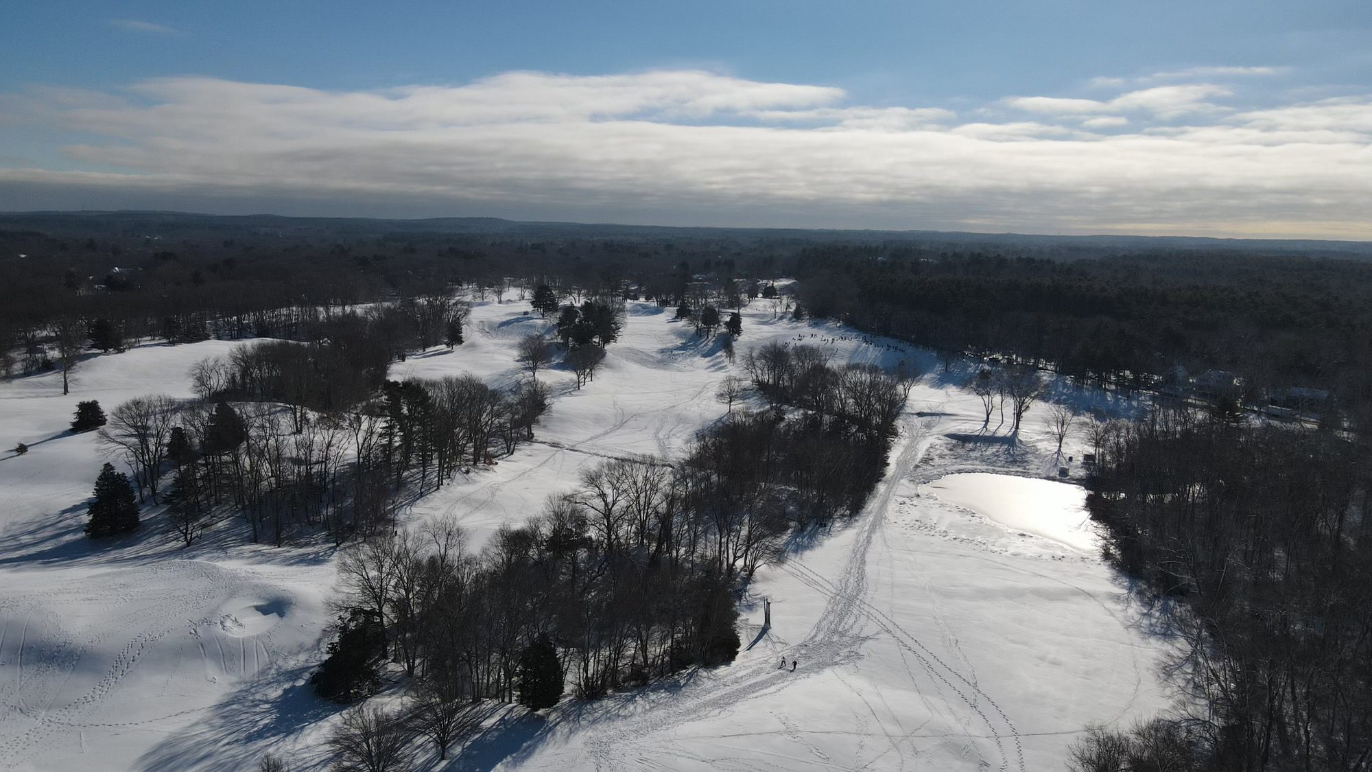
January 6, 2022 By Meteorologist Michael Page
The South Shore is bracing for the first snowstorm of not just 2022, but really of the entire winter.
So far this season, Hingham has yet to pick up 1" of snow.
A coastal storm will quickly move up the East Coast Thursday night into Friday morning, delivering several inches of snow to the area.
This storm is moving too quickly to be a blockbuster storm, but it will produce a few hours of snow and poor travel.
Here's what you should know:
Timeline: There are no weather problems at all on Thursday. In fact, we'll finally enjoy some sunshine and temperatures near 40.
Even Thursday night will be fine, if you have dinner plans.
The snow will begin after midnight during the wee hours of Friday. The snow will then pick up in intensity during what would typically be the Friday morning commute, though this will be a great day to work or attend school from home, given the timing.
The snow will become lighter around midday, before ending entirely during the afternoon, so the entire storm will really only last 8-12 hours.
How Much to Expect: Around the South Shore, expect a widespread 3-6" of snow.
Winds & Tides: Because this storm is moving through so quickly, it will have a hard time generating much wind, so power outages are not a major concern with this system. Peak gusts will be in the 25-35 MPH range.
Likewise high tides, which had been quite elevated earlier in the week due to the new moon, should not be a problem, so there is not a big worry about coastal flooding.
After this storm the next major weather headline to watch will be a blast of cold air early next week. Lows may dip into the single digits, with daytime temperatures only in the teens to around 20!

