

September 25, 2026 By Meteorologist Michael Page (brought to us by Hingham Jewelers)
The first rain bands will pivot through New England this afternoon and tonight, with the heaviest rain bands coming in over the weekend. The rain will gradually taper off early next week.
In coastal New England rainfall totals will generally range from 1-3" during that time, with localized amounts 4" or higher.
Because the rain will be spread out over several days, there is unlikely to be widespread flooding, but be sure to clear storm drains to reduce puddles in your neighborhood.
Inland rainfall totals will be lower, generally under 1.5"
Winds will be persistently onshore, and strongest at the coast. Gusts will regularly be between 35 and 55 MPH there, with gusts 25-45 MPH inland.
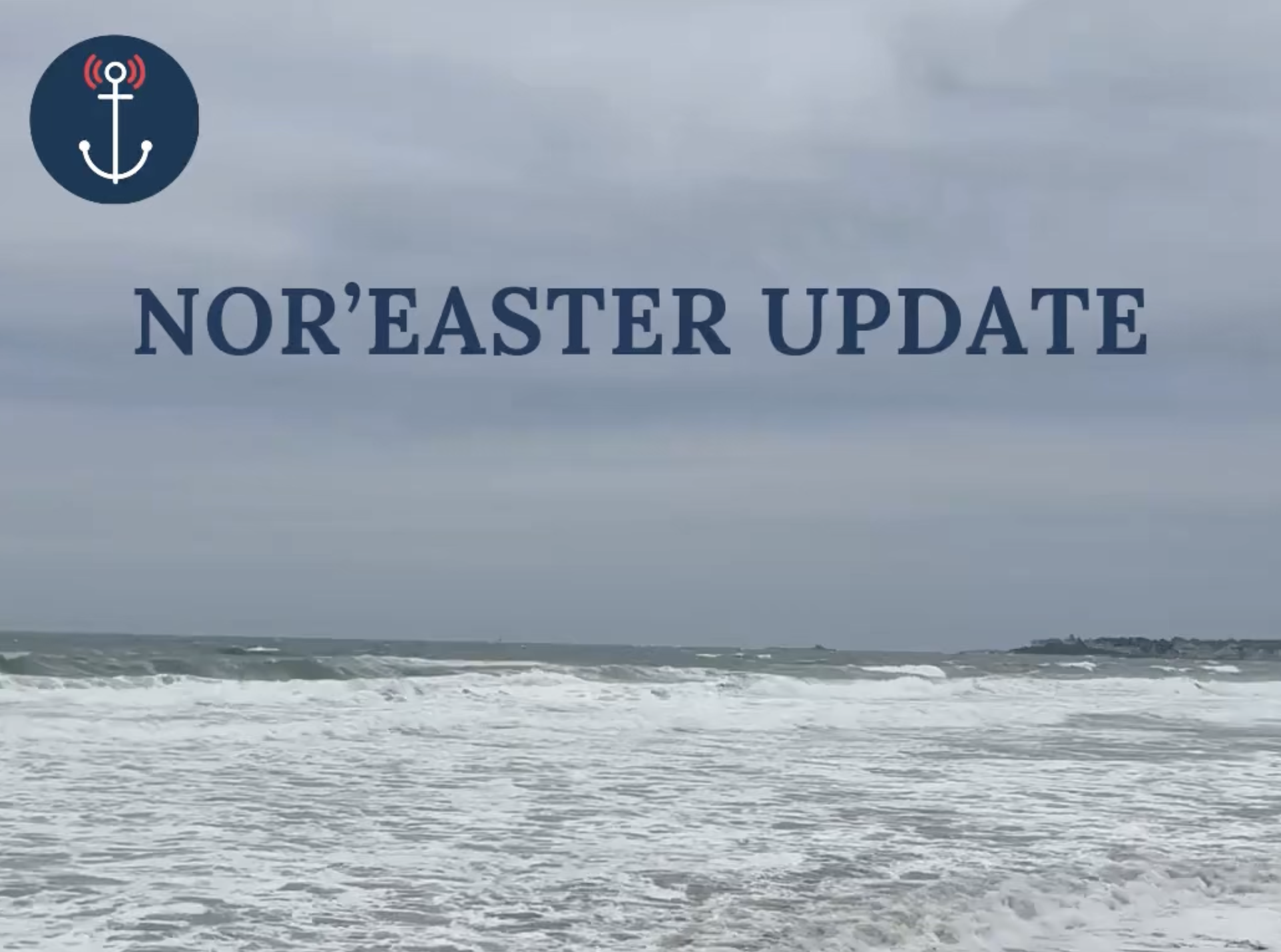
The steady onshore winds will keep the seas very rough, and will create pockets of minor coastal flooding during high tides this weekend.
With leaves still on trees, and that persistent wind, expect scattered power outages through the weekend as well.
Remember, it will not be raining all weekend. There's no need to cancel all of your plans outright.
Travel will absolutely be possible, but you should leave extra time to account for delays--particularly at the airport.
Michael will post more updates during the storm on his social channels (@MichaelPageWx)!
Special Thanks to Hingham Jewelers and Michael Page for always keeping us up to date on the latest hyperlocal weather!